The Andringitra Massif
The Andringitra Massif
Granitic massif peaking at Pic Boby (2,658 m) near Fianarantsoa, Andringitra combines high-altitude trekking, climbing at Tsaranoro, and Betsileo and Bara villages.
The Andringitra Massif stretches over some sixty kilometers in the Haute Matsiatra region, province of Fianarantsoa. With its Precambrian granite domes, its Pic Boby peaking at 2,658 m, and its three ecological layers, it ranks among Madagascar's most demanding and singular trekking sites.
Why visit Andringitra
Andringitra brings together several characteristics that are rare across Madagascar. The massif rises above 2,600 m, offering alpine mountain relief found nowhere else on the island. The summit Imarivolanitra (Pic Boby), at 2,658 m, is the country's second-highest peak.
The site displays three stacked ecological layers: low-altitude tropical forest, mountain forest, and alpine vegetation. This stratification explains the density of endemic species recorded, particularly among birdlife (Vanga, Madagascar Bulbul, ground roller).
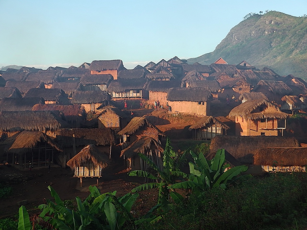
Andringitra is also a stronghold of Betsileo and Bara culture, with its clay-built villages, terraced rice paddies, and ritual burial sites. The Tsaranoro zone, to the massif's west, is moreover recognized internationally for climbing on large vertical granite rock faces.
History and site protection
The massif long served as a theater of conflict between the Betsileo, defending their territory, and neighboring Bara, Sakalava, and later Merina kingdoms seeking to expand their influence. This conflictual history shaped the current occupation of valleys and highlands.
In 1925, French botanist Henri Perrier de La Bâthie explored the Andringitra region and documented its floral richness. Two years later, in 1927, he obtained authorization from the French colonial administration to classify the massif's central zone as a nature reserve.
National park status was officially declared in 1999. In 2007, Andringitra was integrated into the serial property of the Atsinanana Humid Forests, inscribed on the UNESCO World Heritage list — subsequently placed on the endangered heritage list.
What to see and do
Ascending Pic Boby
The classic trek to Pic Boby (Imarivolanitra, 2,658 m) departs from the Ambalamanandray base camp, a village at the massif's foot in the Namoly Valley. The full circuit spans roughly three days and successively traverses mountain forest, alpine meadows, and the summit's rocky debris. The elevation gain and altitude demand good physical condition.
The Tsaranoro Valley
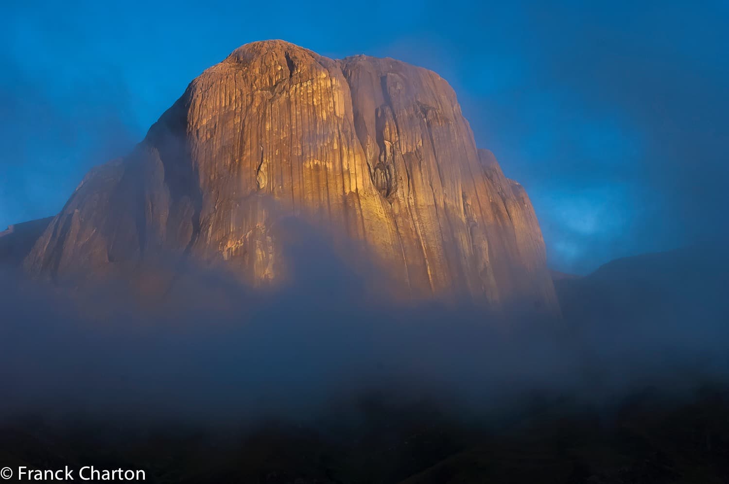
West of the massif, Tsaranoro Valley is dominated by vertical granite rock faces that make it an internationally recognized climbing site. Hikers also find more accessible trails, sacred forests, and viewpoints overlooking the surrounding rocky domes.
Geology and landscapes
Andringitra's rocky domes are of Precambrian origin. They consist primarily of granite, pyroxene syenite, and syenitic granite. The relief alternates between ridges, high valleys (Namoly, Tsaranoro), cliffs, natural pools, and waterfalls.
Fauna and flora
The name Andringitra literally means "where there are stunted plants,
Interested in this visit?
We can include it in your personalised itinerary.